Walking in Nottingham
We have a number of walking routes that can help you discover your local area, landmarks and heritage, whilst boosting your physical and mental health.
Explore the cobbled streets of the Lace Market or Castle area or take a stroll in one of Nottingham’s 32 green flag award-winning parks. Walking is a great way to see some of Nottingham’s hidden secrets. Significant developments in recent years have dramatically changed Nottingham to be a pedestrian-friendly city. You can find an accessible list of walking routes on the following pages:
You can walk from Lister Gate in the south to intu Victoria Centre in the north without crossing any major roads.
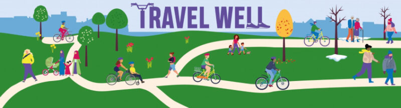
Travel Well and Go Jauntly
A free community-based walking app, Go Jauntly invites you into a world of outdoor adventure. Find local walks created by the people who know and love them. The walks on the app curated by Nottingham City Council are part of the Travel Well programme.
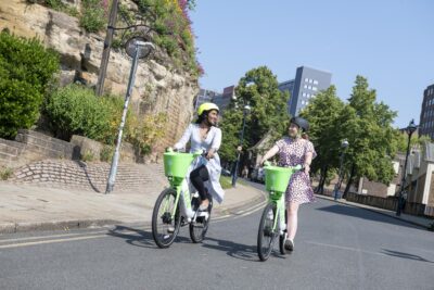
Travel Well is a programme of local walking and cycling activities and services to support people to improve their physical and mental health and wellbeing, whilst also encouraging more local walking and cycling trips.
You can download the Go Jauntly app on the App Store or Google Play.
Local Access Forum Walks
| Where | When | Time | Meeting point | Distance / time | Decription |
|---|---|---|---|---|---|
| Bulwell and Bulwell Hall Park | Friday 29 May | 6:30pm | Bulwell Bogs Park just south of Highbury Road bridge near statue of bull | 3.5 miles / 2.5 hours | Walk following the Leen from Bulwell past retail park and Morrisons before heading into Bulwell Hall park. |
NET walks
Check out these local walks near tram stops that the former Council’s NET project director Pat has put together. Discover lots of history and interesting facts along the way.
Walking to work
Help is at hand for businesses based in Nottingham to support active travel through the council’s Workplace Travel Service. Find out more about the activities and grants available.